J. Hillaby , H. Englund and E. Gruhs
Background
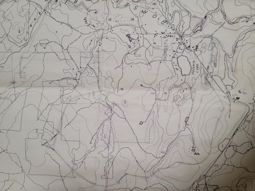
The Harper’s Lake watershed is in the centre of Horsefly – in its early years this community was even named “Harper’s Camp”. It is small enough that we can draw a line around the watershed and identify all the waterways coming and going. It is a microcosm of impacts from both logging and agriculture, and even an old gas station. It includes residences, streets and highways, church, school and fire hall. There is colonial history here going back to the beginning of the gold rush. Worth a trip to the museum.
Our specific objective was to take some physical measurements of the main streams in and out of Harper’s Lake and compare them with our information from 2020.
Take home messages
Beaver dams, old and new. Frank Wijma, who lives along the outlet stream, Harper’s Creek, indicated that he removed the lowest beaver dam earlier in the year so that the creek was low, but still flowing. We found this to be the case.
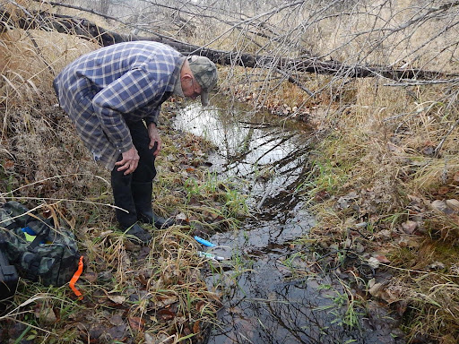
Interestingly, the water quality wasn’t much different from the condition when the beaver dam was still in place. Upstream at the main lake inlet stream we found no substantial change in water quality from last year, and the stream dimensions were also similar, deoxygenated and indicative of a small wetland. We also saw a new beaver pond far down the slope where this stream enters the lake (no photo, inaccessible).
What’s next?
A tour of Harper’s Lake itself in 2022.